Learn bits
World Affairs
Mahesh

21/05/24 06:17 AM IST
Copernicus EMS rapid response service activated to trace the Iranian President

In News
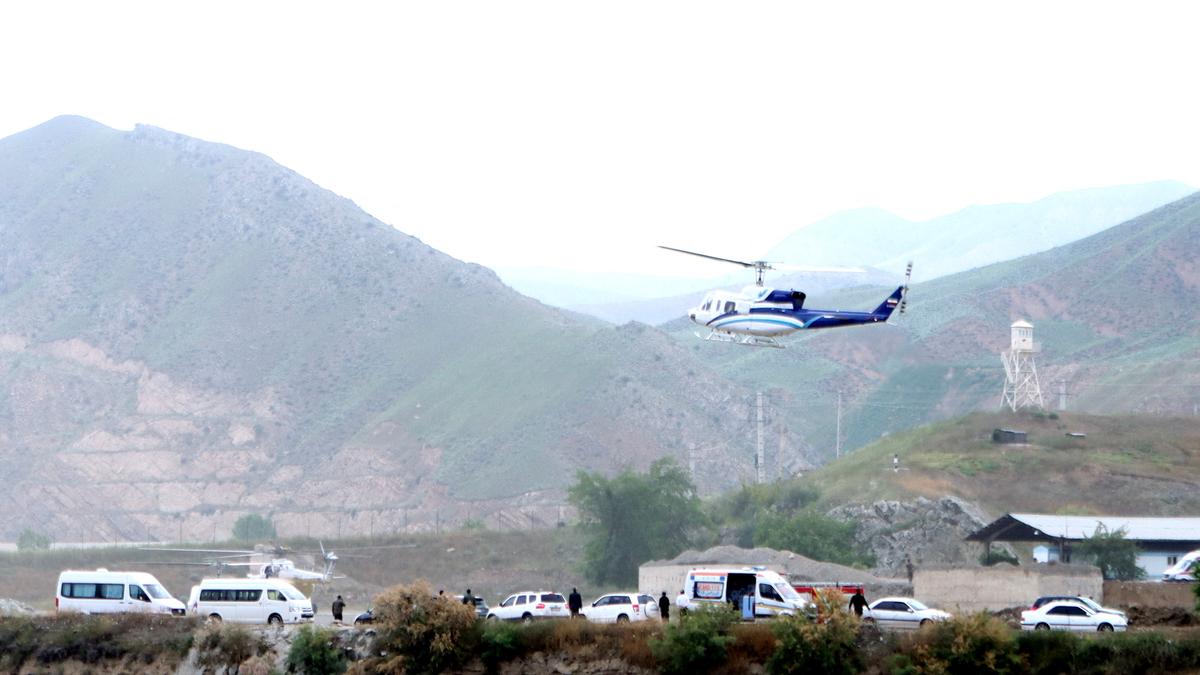
  • The European Union activated its emergency satellite mapping service at Iran’s request as adverse weather and darkness hampered search and rescue operations.
Europe's Copernicus Programme
  • The rapid response mapping technology is a critical component of the Emergency Management Service (EMS) within the Copernicus programme.
  • Named after the renowned 15th-century scientist Nicolaus Copernicus, the programme is the earth observation component of the European Union’s space initiative.
  • Copernicus was launched in 1998, and was earlier known as the Global Monitoring for Environment and Security Programme (GMES).
  • The programme uses global data from satellites, and ground-based, airborne, and sea-borne measurement systems to provide environment-related information to researchers, policymakers, public authorities, international organisations, and commercial and private users to address issues related to climate change, disaster management, and agriculture, among other uses.
  • The space segment uses a group of satellites, called the Sentinels and the Contributing Missions.
  • It is complemented by a ground segment which includes in-situ sensors that provide access to the Sentinels and Contributing Missions data.
  • Presently, the programme is implemented by EU member states with the support of the European Space Agency (ESA) for the space component and the European Environment Agency (EEA) for the in-situ component.
  • The European Organisation for the Exploitation of Meteorological Satellites (EUMETSAT), the European Centre for Medium-Range Weather Forecasts (ECMWF), EU Agencies and Mercator Océan, the European Environment Agency (EEA) and the Joint Research Center (JRC) also assist.
Applications
  • Copernicus provides geospatial information from satellite images and other data sources to help manage a wide range of emergencies resulting from natural or man-made disasters like flood, earthquake, and tsunamis, as well as aid during humanitarian crises by monitoring refugee and internally displaced people.
  • Active since 2012, the Copernicus Emergency Management Service (CEMS) works on two models — on-demand mapping and early warning and monitoring — to issue warnings, risk assessments and information on the impact of disasters worldwide, before, during, or after a crisis.
  • While on-demand mapping offers detailed information for specific emergencies, early warning provides critical geospatial data through monitoring and forecasts for floods, droughts, and forest fires. In the case of the Iranian President’s helicopter crash, the EU activated the rapid response mapping service.
Rapid Map Working
  • The Copernicus EMS on-demand rapid mapping provides geospatial information within a few hours or days of a request to support efforts in the immediate aftermath of an emergency or a disaster anywhere in the world.
  • It acquires, processes, and analyses satellite images, geospatial data, and relevant social media in rapid mode to provide information, according to the Copernicus official website.
  • A rapid mapping activation is defined by one event and a location.
  • There can be more than one area of interest (AOI) in an activation but these need to be linked to the same event. AOIs represent the geographical areas to be analysed and mapped.
  • The service offers four “products” — one pre-event reference and three post-event (first estimate, delineation, grading). Each comprises delivery packages including maps and a vector package of spatial data.
  • Once a rapid response mapping service is activated in case of an emergency, the “First Estimate Product” offers a fast but rough assessment of the most affected area using the earliest post-event image.
  • Delineation” assesses the extent of the impacted area and an update on the situation if requested.
  • The information is derived from images taken soon after the emergency.
  • Grading” provides a detailed damage assessment, its spatial distribution and extent.
Source- The Hindu

More Related Current Affairs View All

21 Sep

India Achieves Tier 1 Status in Global Cybersecurity Index 2024

' India has secured Tier 1 status in the Global Cybersecurity Index (GCI) 2024, published by the International Telecommunication Union (ITU).' The GCI is a comprehensive assessm

Read More

21 Sep

A new White Revolution

'Operation Flood, launched in 1970, ushered in the White Revolution and transformed the dairy sector in India.' Dairy cooperatives procured 660 lakh kg of milk per day in 2023-2

Read More

21 Sep

Changes in Canada’s international work permit system

'Canadian Prime Minister Justin Trudeau announced changes to the country’s international work permit system, aiming to reduce the number of immigrant workers in Canada.'

Read More

India’s First Ai-Driven Magazine Generator

Generate Your Custom Current Affairs Magazine using our AI in just 3 steps