Learn bits
Science & Tech.
Mahesh

19/01/24 10:15 AM IST
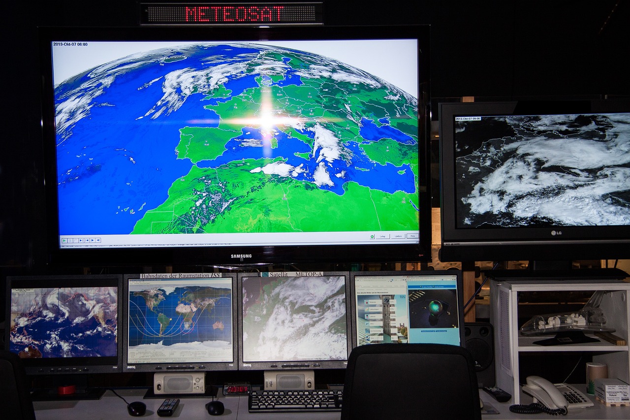
How the weather department uses satellites to track North India’s fog?

In News
  • Large parts of North India, including Bihar, Uttar Pradesh, Uttarakhand, Haryana, Delhi, and Punjab, have been grappling with heavy fog since December 2023.
INSAT 3D Satellite
  • INSAT 3D satellite has a red-green-blue, or RGB, imager whose images’ colours are determined by two factors: solar reflectance and brightness temperature.
  • Solar reflectance is a ratio of the amount of solar energy reflected by a surface and the amount of solar energy incident on it.
  • Brightness temperature has to do with the relationship between the temperature of an object and the corresponding brightness of its surface.
  • It is different from temperature as we usually understand it – like the temperature we ‘feel’ when we touch a glass of hot tea – because brightness temperature also has to do with how the tea glass emits the thermal radiation, which is at different frequencies in different directions.
  • INSAT 3D’s ‘day microphysics’ data component studies solar reflectance at three wavelengths: 0.5 µm (visible radiation), 1.6 µm (shortwave infrared radiation) and 10.8 µm (thermal infrared radiation).
  • That is, detectors onboard the satellite track radiation coming from over India in these wavelengths.
  • The strength of the 0.5-µm visible signal determines the amount of green colour; the strength of the 1.6-µm shortwave infrared signal, the amount of red colour; and the strength of the 10.8-µm thermal infrared signal, the amount of blue colour.
  • This way, the INSAT 3D computer determines the colour on each point of the image.
Tracking of Snow
  • While the solar reflectance of snow and that of clouds is similar in the visible part of the spectrum, snow strongly absorbs radiation of wavelength 1.6 µm, i.e. shortwave infrared.
  • As a result, when the satellite tracks snow, the red component of the colour scheme becomes very weak.
  • The satellite’s ‘night microphysics’ component is a little more involved. Here, two colours are determined not by a single signal but by the strength of the difference between two signals.
  • The computer determines the amount of red colour according to the difference between two thermal infrared signals: 12 µm and 10 µm.
  • The amount of green colour varies according to the difference between a thermal infrared and a middle infrared signal: 10.8 µm and 3.9 µm.
  • The amount of blue colour is not a difference but is determined by the strength of a thermal infrared signal of wavelength 10.8 µm.
Benefits
  • Both INSAT 3D and INSAT 3DR use radiometers to make their spectral measurements.
  • A radiometer is a device that measures various useful properties of radiation, typically by taking advantage of radiation’s interaction with matter, for example in the form of temperature or electrical activity). Both satellites also carry atmospheric sounders.
  • These are devices that measure temperature and humidity, and study water vapour as a function of their heights from the ground.
  • Scientists combine the radiometer and sounder measurements to understand various atmospheric characteristics.
INSAT 2024
  • For meteorological observation, INSAT-3A carries a three channel Very High Resolution Radiometer (VHRR) with 2 km resolution in the visible band and 8 km resolution in thermal infrared and water vapour bands.”
  • The radiometers onboard 3D and 3DR have “significant improvements in spatial resolution, number of spectral channels and functionality”.
  • The Kalpana 1 and INSATs 3A, 3D, and 3DR satellites aided India’s weather monitoring and warning services with the best technology available in the country at the time, and with each new satellite being a better-equipped version of the previous one.
  • So while Kalpana 1 had a launch mass of 1,060 kg and carried a early VHRR and a data-relay transponder, INSAT 3DR had a launch mass of 2,211 kg – in 2016 – and carried an upgraded VHRR, a sounder, a data-relay transponder and a search-and-rescue transponder.
  • India deactivated Kalpana 1 in September 2017, after 15 years in orbit.
  • The INSAT 3D and 3DR satellites are currently active in geostationary orbits around the earth, at inclinations of 82 degrees and 74 degrees east longitudes respectively.
  • In February 2024, the Indian Space Research Organisation is expected to launch the INSAT 3DS meteorological satellite onboard its GSLV Mk II launch vehicle, with a launch mass of two tonnes. While “3DR” stood for “3D repeat”, “3DS” stands for “3D second repeat”.
Source- The Hindu

More Related Current Affairs View All

15 Jan

Meta shutting down fact-checkers

'Meta CEO Mark Zuckerberg said the company will get rid of fact-checkers and simplify content policies by removing restrictions on topics as it is “out of touch with mainstre

Read More

15 Jan

Mission Mausam

'Prime Minister Narendra Modi launched  ‘Mission Mausam’, a groundbreaking initiative aimed at making India a weather-ready and climate-smart nation, as part of th

Read More

15 Jan

Mahakumbh First Amrit Snan

'January 14 was the first amrit snan or shahi snan at the Mahakumbh underway in Prayagraj.' Shri Panchayati Akhara Mahanirvani and Shri Shambhu Panchayati Atal Akhara were the f

Read More

India’s First Ai-Driven Magazine Generator

Generate Your Custom Current Affairs Magazine using our AI in just 3 steps