Learn bits
World Affairs
Mahesh

16/12/23 07:32 AM IST
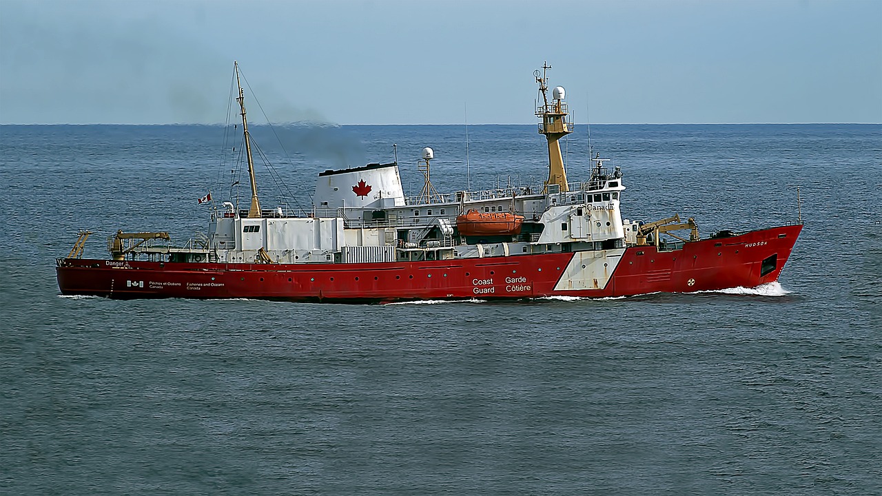
Hydrographic surveys

In News
  • The Maldives government has decided to not renew an agreement with India that allowed India to conduct hydrographic surveys in Maldivian waters.
Hydrographic Survey pact
  • Hydrographic surveys are carried out by ships, which use methods such as sonar to understand the various features of a water body.
  • According to the US National Oceanic and Atmospheric Administration (NOAA), these surveys help “map out water depth, the shape of the seafloor and coastline, the location of possible obstructions, and physical features of water bodies”, to ensure the efficiency and safety of maritime transportation.
  • Prime Minister Modi travelled to the Maldives for a State Visit in June 2019, the first overseas visit of his second term.
  • Various MoUs were signed during the visit, including one for Cooperation in the Field of Hydrography between the Indian Navy and the Maldives National Defence Force (MNDF).
  • So far, three joint hydrographic surveys have been undertaken – in 2021, 2022, and 2023.
  • The Indian Naval Ship (INS) Darshak carried out the first Joint Hydrographic survey in February and March of 2021.
  • According to a document from the High Commission of India in Male, the second Joint Hydrographic survey was carried out by the INS Sutlej from April 18 to May 24, 2022.
  • During the period, the ship surveyed Northern Maldives and the Male area including Thilafushi, Hulhumale and Male port on the request of the Government of Maldives.
  • An area of 944 square km was effectively surveyed – some of these areas had been last surveyed as far ago as in 1853.
  • Multi-beam echo sounders were used. The surveys were done to generate updated Navigational Charts/ Electronic Navigational Charts of the areas, which would help sectors such as Tourism, Fisheries, Agriculture, etc.
  • The third survey was conducted between January and February 2023, by INS Investigator.
  • It identified 52 new shoals, which are emerging ridge-like natural structures in the sea, within the Ihavandhippolhu atoll.
Pact with other countries
  • In 2021, India’s oldest Hydrographic Survey ship, INS Sandhayak, was decommissioned.
  • In its 40 years of service, it undertook more than 200 major hydrographic surveys along the Western and Eastern coasts of the Indian peninsula, and the Andaman Sea, as well as surveys in neighbouring countries including Sri Lanka, Myanmar, and Bangladesh.
  • Indian survey ships have assisted Kenya, Mauritius, Mozambique, Maldives, Oman, Seychelles, Sri Lanka and Tanzania in the past.
Why pact was ended?
  • President Solih of the Maldivian Democratic Party (MDP), who was in power from 2018 to 2023, was seen as being more favourable to India, but his successor Mohamed Muizzu of the Progressive Party of Maldives (PPM) is being seen as more pro-China.
  • While the Maldives has traditionally been a part of India’s sphere of influence, in recent decades China has sought to project its power aggressively in the Indian Ocean, including through massive investments in infrastructure projects under President Xi Jinping’s Belt and Road Initiative (BRI).
Source- Indian Express

More Related Current Affairs View All

16 Jan

INS Surat, INS Nilgiri and INS Vaghsheer commissioned

'PM Modi dedicated three frontline naval combatants to the nation on their commissioning.' The naval combatants – INS Surat, INS Nilgiri and INS Vaghsheer --were commissio

Read More

15 Jan

Meta shutting down fact-checkers

'Meta CEO Mark Zuckerberg said the company will get rid of fact-checkers and simplify content policies by removing restrictions on topics as it is “out of touch with mainstre

Read More

15 Jan

Mission Mausam

'Prime Minister Narendra Modi launched  ‘Mission Mausam’, a groundbreaking initiative aimed at making India a weather-ready and climate-smart nation, as part of th

Read More

India’s First Ai-Driven Magazine Generator

Generate Your Custom Current Affairs Magazine using our AI in just 3 steps