In news
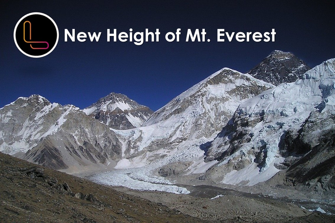
Foreign Ministers of Nepal and China jointly certified the elevation of Mount Everest at 8,848.86 metres above sea level — 86 cm higher than what was recognised since 1954
- The common declaration meant that the two countries have shed their long-standing difference in opinion about the mountain’s height.
- No other mountain has perhaps been the subject of as much debate.
Earlier measurement
- This was determined by the Survey of India in 1954, using instruments like theodolites and chains, with GPS still decades away.
- The elevation of 8,848 m came to be accepted in all references worldwide — except by China.
- Mount Everest rises from the border between Nepal and China.
- There was also a third estimate, even higher. In 1999, a US team put the elevation at 29,035 feet (nearly 8,850 m).
- This survey was sponsored by the National Geographic Society, US.
New measurement
- Until the devastating earthquake of April 2015, Nepal’s Survey Department had perhaps never considered the idea of measuring Mt Everest.
- But the earthquake triggered a debate among scientists on whether it had affected the height of the mountain.
- The government subsequently declared that it would measure the mountain on its own, instead of continuing to follow the Survey of India findings of 1954.
- New Zealand, which shares a bond with Nepal over the mountain, provided technical assistance.
- In May 2019, the New Zealand government provided Nepal’s Survey Department (Napi Bibhag) with a Global Navigation Satellite, and trained technicians.
Source: Indian Express