Learn bits
Ecology & Environment
Mahesh

03/07/24 11:14 AM IST
Urban expansion makes Delhi susceptible to flooding

In News
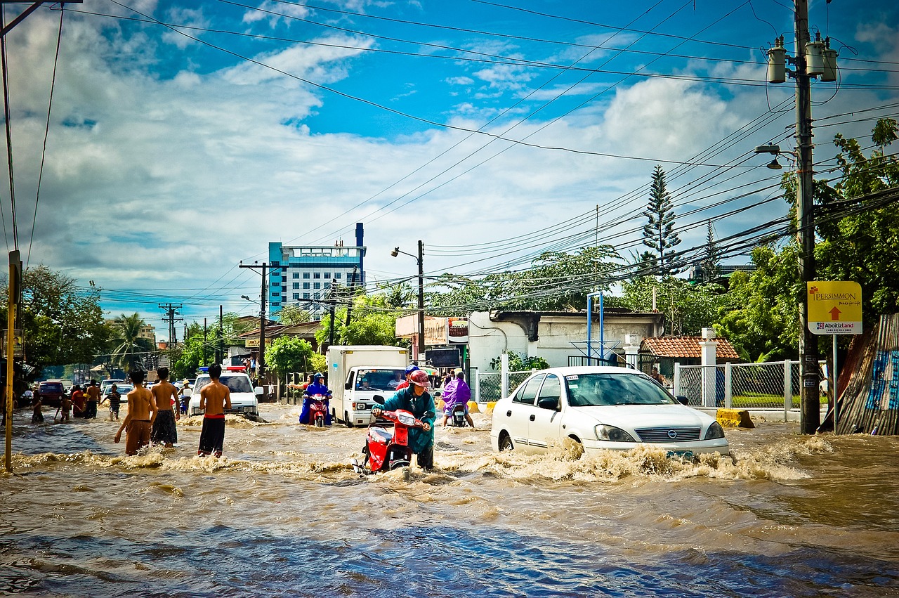
  • Unchecked and ill-thought-out urban expansion is the principal reason behind chronic urban flooding in Delhi, and the larger National Capital Region (NCR).
Rapid Expansion
  • Delhi is undergoing one of the world’s fastest urban expansions.
  • According to data from NASA’s Earth Observatory, the geographic size of Delhi almost doubled from 1991 to 2011.
  • Most of this expansion has occurred on the peripheries of New Delhi, with erstwhile rural areas becoming engulfed in the capital’s urban sprawl.
  • Cities outside Delhi, but a part of the NCR — Bahadurgarh, Ghaziabad, Faridabad, Noida, and Gurugram — have also witnessed rapid urbanisation.
  • According to the United Nations’ The World’s Cities in 2018 data booklet, Delhi will overtake Tokyo as the world’s most populous city by 2030, with an estimated population of nearly 39 million, roughly two and a half times its population in 2000.
  • If one looks at Delhi’s historic cities — from Tughlakabad, Mehrauli, and Shahjahanabad to Civil Lines, New Delhi, and the Cantonment area — all were carefully selected, and built on higher ground. In Delhi’s villages too, the centre of the village would always be five to six metres higher than the village periphery
  • This allowed rainwater to drain out. But as the city has expanded, not enough thought has gone behind building with regards to the land’s drainage capacities.
  • Thus, with high-intensity rain there is significant run-off (unconfined flow of water, which occurs when there is more water on the land’s surface than it can absorb), and existing drainage systems have been inadequate.
Risks involved
  • But due to urbanisation, water cannot simply flow down this gradient.
  • Today, much of the water gets channelised into concretised nallahs (drains), which have been turned into sewage dumps.
  • Construction in low-lying areas only makes things worse.
  • For instance, many nallahs from across South Delhi, as far as Chanakyapuri and R K Puram, converge at Sarai Kale Khan, a low-lying area in South East Delhi, next to the Yamuna. This is why the bustling urban village sees intense flooding every year.
  • Construction in Delhi’s flood plains began as early as the 1900s, when the British decided to build a railway line along the river bed.
  • Much later, the Ring Road came up, again on the Yamuna flood plain.
  • The floodplain has been used for all sorts of reasons, from building bridges to buildings.
  • Around 65 hectares of land on the flood plains near Kashmere Gate was reclaimed by the Delhi Metro for its maintenance shed.
  • During the Commonwealth Games in 2010, a bus maintenance facility was built over roughly 25, again on the floodplains.
  • The ITO-Pragati Maidan area, which has been seeing flooding for years, was once a low-lying wetland.
  • This concretisation leaves little room for rainwater to percolate into the soil, leading to flooding.
Source- Indian Express

More Related Current Affairs View All

08 Jan

Airline pilots’ body calls attention to lithium battery fire risk

'Recently, the International Federation of Air Line Pilots’ Associations (IFALPA) issued three position papers on the fire risk due to the use of lithium-ion batteries in air

Read More

08 Jan

V. Narayanan, who is set to take over as ISRO Chairman

'V. Narayanan, a noted rocket and spacecraft propulsion expert, is set to succeed S. Somanath as the next Chairman of Indian Space Research Organisation (ISRO).' Dr. Narayanan

Read More

08 Jan

Rat-hole mining

'Several workers have been trapped for more than 12 hours in a coal “rat-hole” mine after it was flooded with water  in Dima Hasao district of Assam.' The rescu

Read More

India’s First Ai-Driven Magazine Generator

Generate Your Custom Current Affairs Magazine using our AI in just 3 steps