11/02/21 16:20 PM IST


What could be the causes of such a massive avalanche?
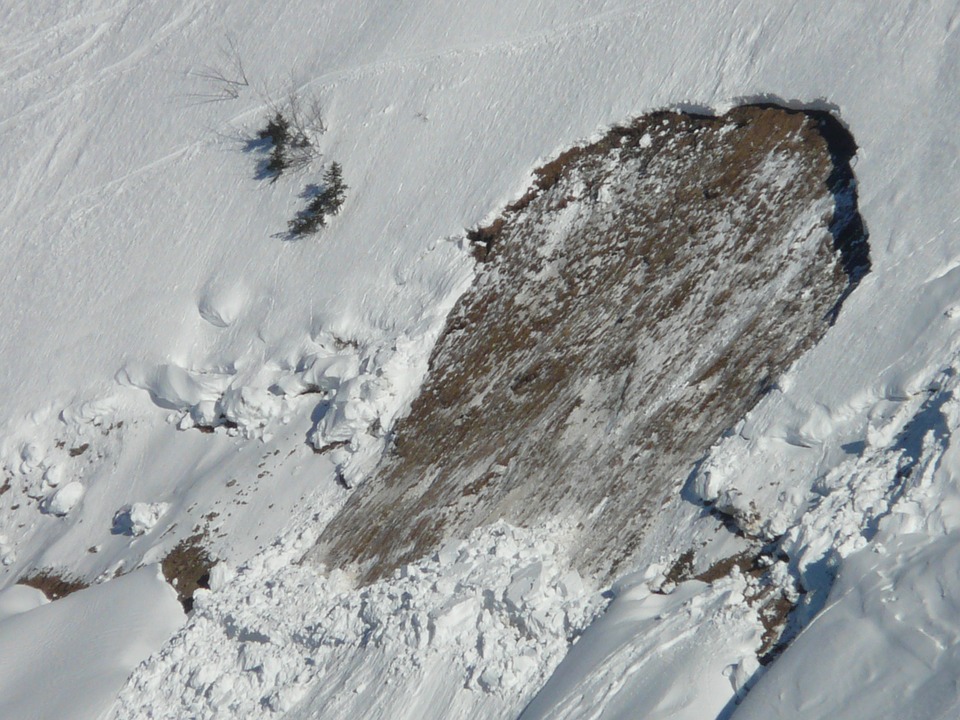
These massive flood occurred due to the falling of a portion of Nanda Devi glacier in the river which exponentially increased the volume of water. Environmentalists have claimed that climate change led to the burst of a part of the Nanda Devi glacier at Joshimath in Chamoli district of Uttarakhand. According to various scientists, there are maybe so many reasons behind this avalanche:
Scientists are not sure about the causes of this avalanche but they all assured that climate change may be the biggest reason behind this destruction.
Why is this flood memorizing us about 2013 tremendous devastation?
The gigantic surge which took place in the Dhauli Ganga river on Sunday in the Chamoli district of Uttarakhand came as a harsh remembrance of the 2013 calamity in Kedarnath which led to extensive havoc in the ecologically fragile Himalayan region. However, unlike the Kedarnath tragedy which struck after a downpour, the flash flood on Sunday occurred on a bright and sunny morning which helped in relief and rescue operations by police, State Disaster Response Force (SDRF), National Disaster Response Force (NDRF) and Indo-Tibetan Border Police (ITBP) personnel in the affected areas.
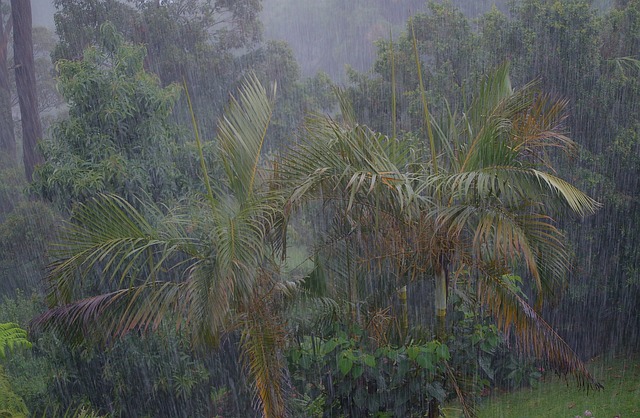
What exactly had happened in Uttarakhand in 2013, in between 13-17 June. Uttarakhand had received an unusual amount of rainfall which led to the melting of the Chorabari glacier and the eruption of the Mandakini river. It affected large parts of Uttarakhand, Himachal Pradesh and Western Nepal. The heavy rainfall caused massive flash floods and landslides resulting in the death of residents and tourists as well as extensive property damage.
However, similar outburst had happened in 2021 which caused a flash flood again. Over 150 labourers working at a power project in Tapovan-Reni are feared dead, two power projects NTPC's Tapovan-Vishnugad hydel project and the Rishi Ganga Hydel Project were extensively damaged, with scores of labourers trapped in tunnels as the waters came rushing in and among the places most severely hit by the floods are Joshimath, Chamoli district, Rini, Chamoli, Nanda Devi National Park, Tapovan Vishnugad Hydropower Plant and Sridhar.
When does the flash flood occur?
Flash Flood are sudden surges in water levels generally during or following an intense spell of rain. These are highly localised events of short duration with a very high peak and usually have less than six hours between the occurrence of the rainfall and peak flood. The flood situation worsens in the presence of choked drainage lines or encroachments obstructing the natural flow of water. This flash flood caused by many reasons:
Where is the origin of Dhauliganga and Alaknanda?
The Alaknanda river flowing is one of the two source streams of holy river Ganga. It is the confluence of Satipath Glacier and Bhagirathi Kharak Glacier. It is of 190km in length and covering 10,882 km square area. It meets Dhauliganga River at Vishnuprayag, Nandakani river at Nandaprayag, Pindar River at Karnaprayag, Mandakini river at Rudraprayag and then it meets Bhagirathi at Devprayag where officially Ganga formed.
Dhauliganga which is also known as Dhauli river which is one of the six streams of Ganga. It originates from Deovan Himani at Garhwal Division of Uttarakhand and ends at Vishnuprayag. It has 94km length and rises at an altitude of 5,070mts in the Niti pass of Chamoli district of Uttarakhand. It meets Alaknanda at Vishnuprayag, at the base of Joshimath Moutain. Tapovan, the very famous hot spring, situated at the bank of river Dhauliganga.
Who headed the Chopra Committee after 2013 Uttarakhand Disaster with what recommendations?
Chopra Committee was appointed under the chairmanship of Dr Ravi Chopra to investigate the causes of Uttarakhand Disaster in June 2013. It made some recommendations to avoid such a hazardous disaster in the future but later it dropped. After this massive havoc in Uttrakhand, again these recommendations knocked on the door to review it. It recommended that "at least 23 hydropower projects should be dropped, that hydropower projects played a significant role in the Uttarakhand disaster and that there is an urgent need to improve the environmental governance of hydropower projects".
How glaciers are formed and how melting glaciers cause devastation?
Glaciers begin forming in places where more snow piles up each year than melts. Soon after falling, the snow begins to compress or become denser and tightly packed. It slowly changes from light, fluffy crystals to hard, round ice pellets. New snowfalls and buries this granular snow.
As the years go by, layers of firn build on top of each other. When the ice grows thick enough—about 50 meters (160 feet)—the firn grains fuse into a huge mass of solid ice. The glacier begins to move under its weight. The glacier is so heavy and exerts so much pressure that the firn and snowmelt without any increase in temperature. The meltwater makes the bottom of the heavy glacier slicker and more able to spread across the landscape.
Glaciers cause devastation in many ways:

17 Sep
'Dehradun and several other districts in Uttarakhand have experienced very heavy rainfall over the past few days, triggering landslides in multiple areas and causing rivers to swel
Read More
08 Sep
'The Rajasthan Coaching Centres (Control and Regulation) Bill, 2025, is a significant piece of legislation passed by the Rajasthan Assembly to regulate and oversee the state's burg
Read More
28 Aug
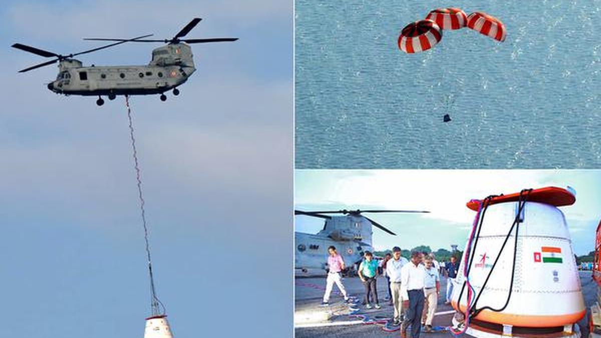
'Recently, the Indian Space Research Organisation (ISRO) successfully carried out its first Integrated Air Drop Test (IADT-1), a crucial milestone in the preparation for the countr
Read More