Learn bits
Ecology & Environment
Mahesh

24/11/23 10:02 AM IST
How farm fires are counted

In News
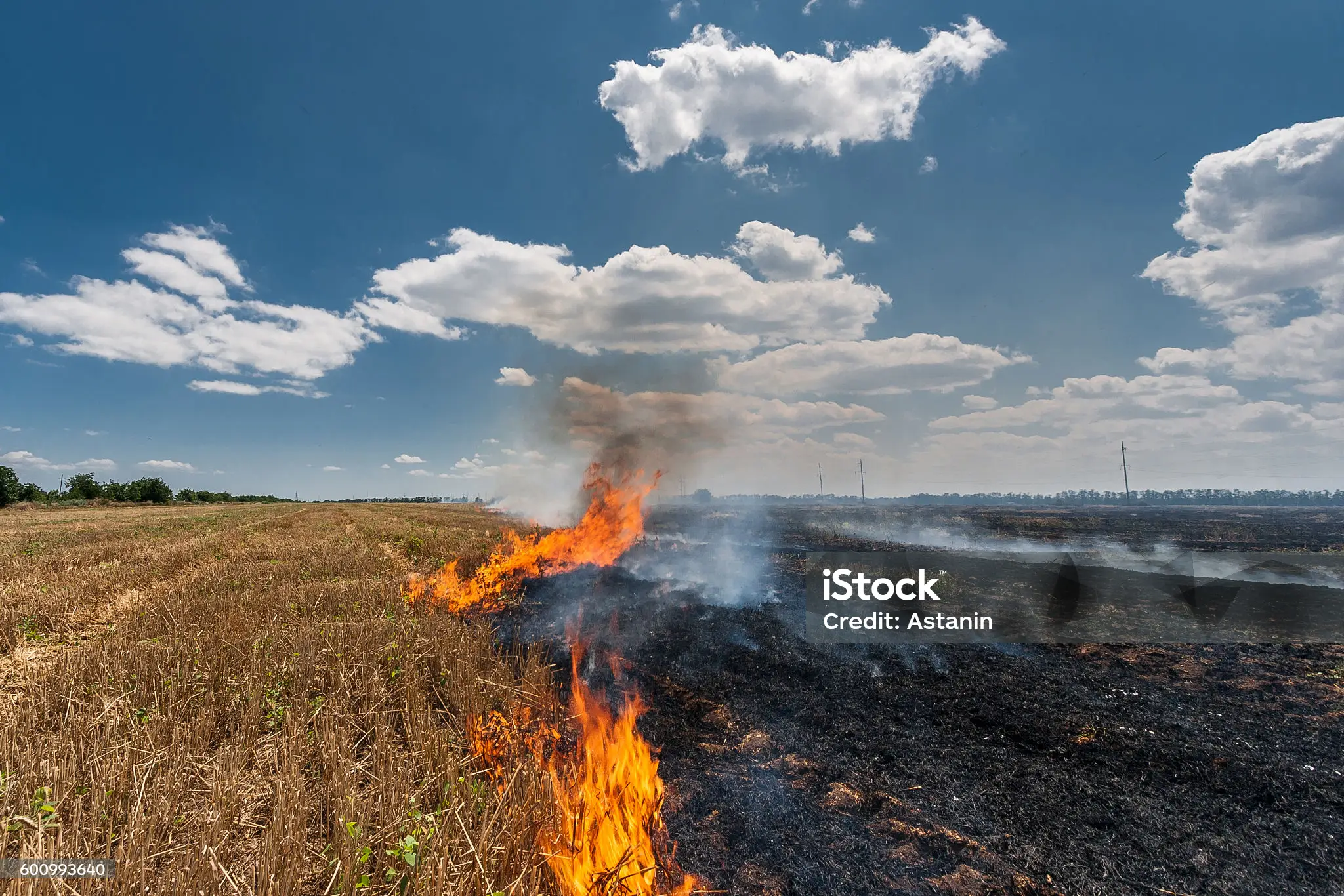
  • Across six states — Punjab, Haryana, Uttar Pradesh, Delhi, Rajasthan and Madhya Pradesh — a total of 55,725 farm fires were recorded between September 15 and November 23.
  • Of these, 36,323 fires were in Punjab, with the state also seeing the highest single-day count for the season so far, with 3,230 fires recorded on November 5.
Who collects data?
  • Indian Agricultural Research Institute’s (IARI) Consortium for Research on Agroecosystem Monitoring and Modeling from Space (CREAMS) Laboratory puts out a daily bulletin on paddy residue fires.
  • This bulletin, carrying data from Punjab, Haryana, Uttar Pradesh, Rajasthan, Madhya Pradesh, and Delhi, provides a district-wise breakdown of the mber of farm fire incidents recorded, as well as comparative figures from previous years (2020 onwards).
  • It also gives the exact location where these fires were recorded, the satellite that recorded them, time of recording, and their intensity or fire power.
  • The CREAMS Laboratory was set up in 2013, “with the primary purpose of monitoring crop conditions against extreme climatic events."
Data Collection
  • Three sensors aboard three different NASA satellites — one called VIIRS aboard the Suomi NPP satellite, and two called MODIS, aboard the Terra and Aqua satellites — collect this data by recording land surface temperatures.
  • Each satellite passes over the Indian subcontinent twice every 24 hours, at different times.
  • Terra passes over around 10 to 10:30, Aqua between 12:30 and 1:30, and Suomi NPP around 1:30 to 3:30. They repeat every 12 hours.
  • The VIIRS has the highest resolution [so we get more events], whereas the two MODIS have a coarser resolution.
  • These satellites scan the region in a sweep — covering the area from somewhere near the Indian Ocean to Ladakh in around 13 to 15 minutes.
  • For the past five years, the laboratory has also been using another set of satellites to map the burnt areas. “This mapping is not done in real time, but towards the end of the season.
  • It tells us, in hectares, how much was planted, how much was burnt, and where.
  • Sentinel-2 satellites, belonging to the European Space Agency, are used for this purpose.
Protocols for monitoring
  • IARI receives satellite data at its own ground station, and from the National Remote Sensing Centre.
  • Although the data is talked about most at this time of the year, farm fires are monitored all year round, throughout the country.
  • Prior to 2021, however, there was no standard protocol for monitoring farm fires.
  • At IARI, we were using our methodology and data. But there were state centres that were taking data from ISRO and monitoring. [Due to this] there were differences in the number of events recorded.
  • In 2021, the Commission for Air Quality Management (CAQM) said that a “standard protocol” will be used to monitor farm fires using satellite data.
  • IARI then processed data once again for 2020 using this protocol, and comparative data is now available from 2020 onwards.
  • The Punjab Remote Sensing Centre also puts out the same data on farm fires in Punjab, based on information from the same satellites.
Identification of paddy fires
  • Crucially, researchers need to differentiate paddy crop residue fires from forest fires, or fires coming from industries and brick kilns. This is done by first identifying areas under paddy cultivation, and then mapping farm fires.
  • Paddy usually has a background of water, so its signature is different from that of other crops like say sugarcane or maize.
  • Then you overlay the fire event with this, and we say it is a paddy fire.
  • For an active fire, the satellite provides the land surface temperature.
  • “If the land surface temperature of a given point is more than a particular threshold when compared to its surroundings, it is indicative of a fire.
  • This threshold varies with season, day and night.
  • Once these points are produced, we overlay the administrative boundaries and aggregate them state-wise, district wise, tehsil wise, what is the location, from which satellite it is recorded, day or night, at what time it was detected.
Intensity of fire
  • Detection of a fire has less to do with area and more to do with the amount of residue that is burnt — more the residue burnt, higher the increase in temperature [compared with surrounding areas], and intensity of fire, and thus more the chances of a fire being detected.
  • Fire power, or intensity, is expressed in terms of energy emitted per unit area, per unit time. It gives an idea of the amount of residue that is being burnt.
  • Every event is not the same. A more intense fire shows more residue was burnt If you’re getting 2 or 3 watt per metre square, it’s low intensity, but if it is 18 to 20 watt per metre square, that is high intensity.
Limitations
  • The first limitation is with regards to the number of satellites in operation. “With more satellites, you can get passes every hour, or every half hour. The higher the number of these passes, the more events we can capture.
  • Then there are climatic conditions that can influence readings.
  • The sensors aboard the satellites work somewhat like an infrared thermometer, but from a distance of 600 to 800 km.
  • Between them and the fires they want to catch lies Earth’s atmosphere.
  • Some absorption of the signal happens because of the presence of water vapour and clouds.
  • If we have thick, persistent clouds, we don’t get data… the sensors can only see the top of the cloud and the cloud top temperature is minus 50 degrees.
  • Recently, there was a delay in receiving data from one of the satellites. “Sometimes, the sensor needs to be recalibrated. In this case, there was a change in the orbit of the satellite.
Source- Indian Express

More Related Current Affairs View All

15 Nov

Government issues guidelines to curb misleading ads by coaching centres

'The central Government issued new guidelines aimed at curbing misleading advertisements by coaching institutes, specifically prohibiting false promises such as "100 per cent selec

Read More

15 Nov

Janjatiya Gaurav Divas

'Every year on November 15th, Janjatiya Gaurav Divas is celebrated to honor the contributions of these communities, especially in India’s freedom struggle.' 5th November

Read More

15 Nov

Supreme Court’s order on mandatory accessibility standards

'A bench of the Supreme Court last week ordered the Union government to frame mandatory rules for ensuring the accessibility of public places and services to persons with disabilit

Read More

India’s First Ai-Driven Magazine Generator

Generate Your Custom Current Affairs Magazine using our AI in just 3 steps